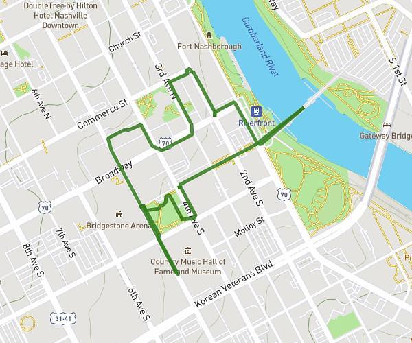
This walking route covers 0.686mi starting from Knoxville, Tennessee. The walk is a loop trail and returns to the trailhead. This walk is rated as easy, plan for about 10m to complete it. The route has an elevation gain of 20ft and an elevation loss of 20ft.
neighbor hood walk
Route details
14:35/mi
Pace
41 kcal
Calories burned
Loop trail
Route type
1050ft
Min altitude
1070ft
Max altitude
Route profile
20ft
Elevation gain
20ft
Elevation loss
1050ft
Min altitude
1070ft
Max altitude
How to get there
Trailhead: 1114 Withlow Drive, Knoxville, Tennessee 37912, United States
GPS coordinates of the trailhead: 36.00023, -83.97861 / 36°0'0'' N, 83°58'42'' W