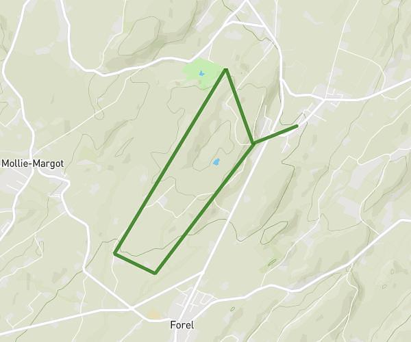
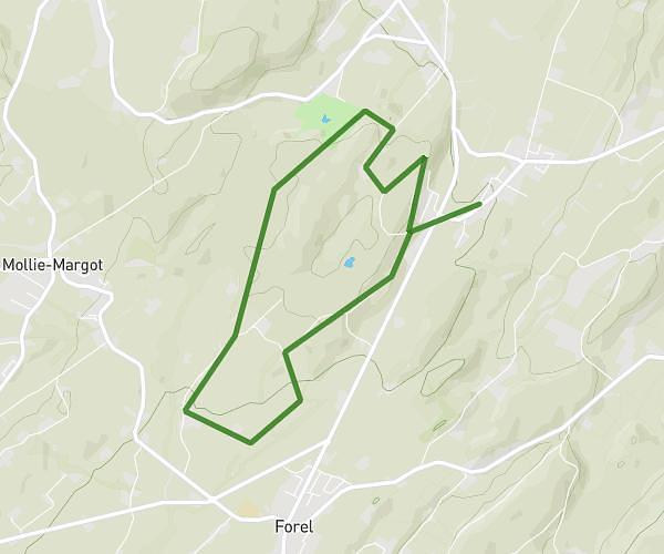
This running route covers 7.959mi starting from Clarens, Vaud. The run is a loop trail and returns to the trailhead. This run is rated as hard, expect about 1h25m to complete it. The route has an elevation gain of 853ft and an elevation loss of 840ft.
Hauts de montreux - light d+ 300
Route details
5.62mph
Speed
972 kcal
Calories burned
Loop trail
Route type
1227ft
Min altitude
1768ft
Max altitude
Route profile
853ft
Elevation gain
840ft
Elevation loss
1227ft
Min altitude
1768ft
Max altitude
How to get there
Trailhead: Rue Des Vaudrès 17, 1815 Clarens, Switzerland
GPS coordinates of the trailhead: 46.443143, 6.887107 / 46°26'35'' N, 6°53'13'' E