MapPlanner
7.576mi
Distance
1h21m
Duration
10:42/mi
Pace
Hard
Level

Arbeit

Route details

5.61mph
Speed
926 kcal
Calories burned
Point to point
Route type
23ft
Min altitude
108ft
Max altitude

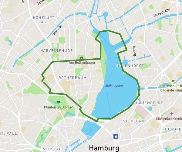
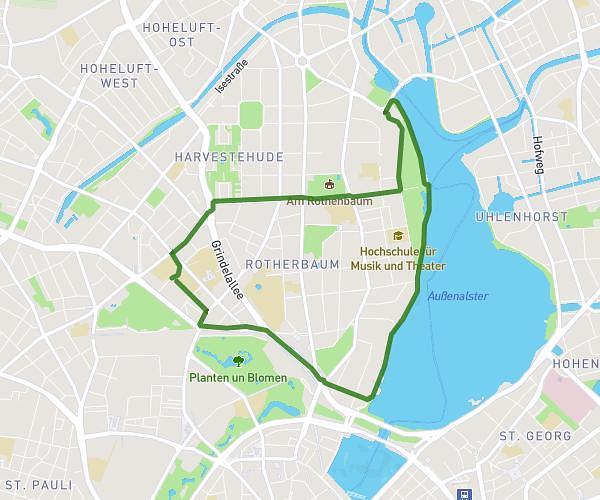
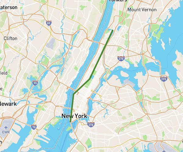
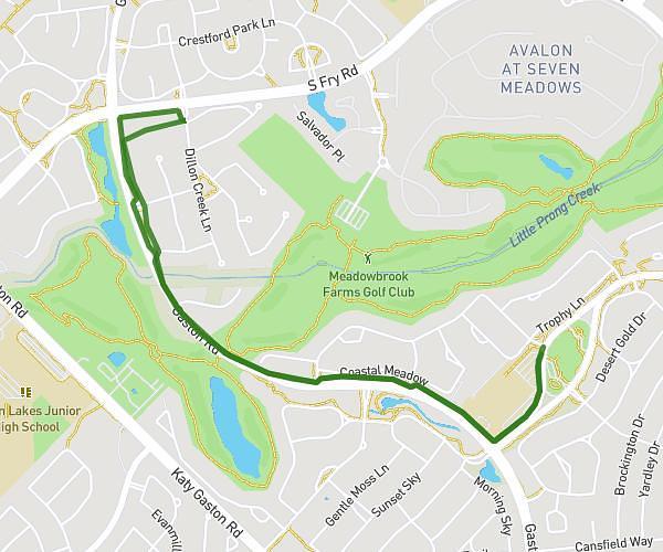
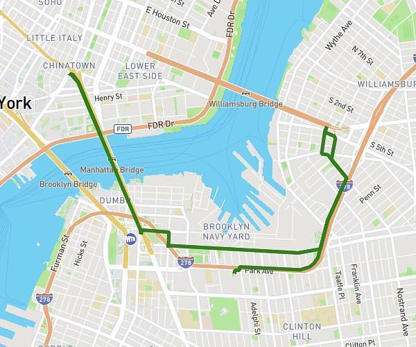
This running route covers 7.576mi starting from . The run does not return to the trailhead and ends near . This run is rated as hard, expect about 1h21m to complete it. The route has an elevation gain of 344ft and an elevation loss of 371ft.

Route profile

344ft
Elevation gain
371ft
Elevation loss
23ft
Min altitude
108ft
Max altitude

How to get there

Trailhead:

GPS coordinates of the trailhead: 53.657311, 10.010878 / 53°39'26'' N, 10°0'39'' E

Caution: May Cross Private Property

This route may pass through or near private property. Always respect posted signs, obtain permission where required, and follow local trespassing laws. MapPlanner does not guarantee public access along any route.

Safety Notice

Trail and road conditions may change without notice due to weather, construction, or other factors. Always verify current conditions before heading out. You are responsible for your own safety — follow local signage, obey traffic laws, and use your best judgment on the trail.