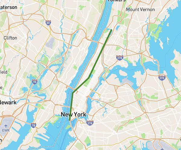
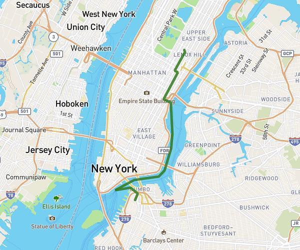
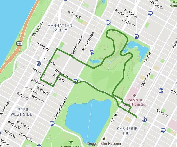
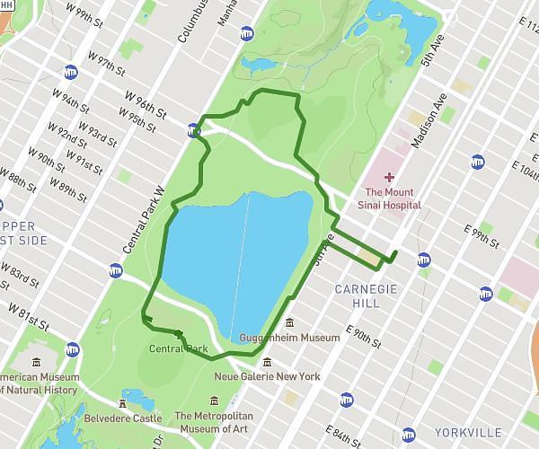
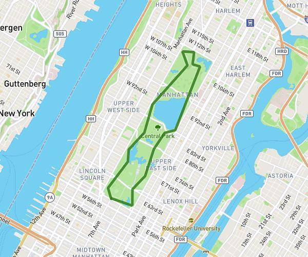
This running route covers 11.669mi starting from New York, New York. The run is a loop trail and returns to the trailhead. This run is rated as strenuous, expect about 4h10m to complete it. The route has an elevation gain of 407ft and an elevation loss of 407ft.
ada
Route details
2.8mph
Speed
2858 kcal
Calories burned
Loop trail
Route type
13ft
Min altitude
79ft
Max altitude
Route profile
407ft
Elevation gain
407ft
Elevation loss
13ft
Min altitude
79ft
Max altitude
How to get there
Trailhead: Fdr Drive, New York, New York 10002, United States
GPS coordinates of the trailhead: 40.70949, -73.99205 / 40°42'34'' N, 73°59'31'' W