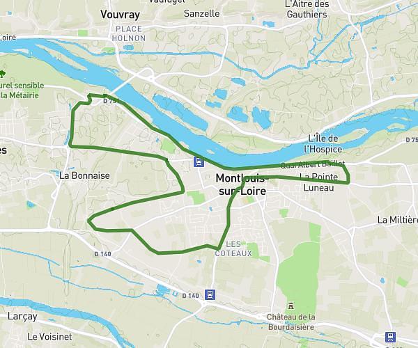
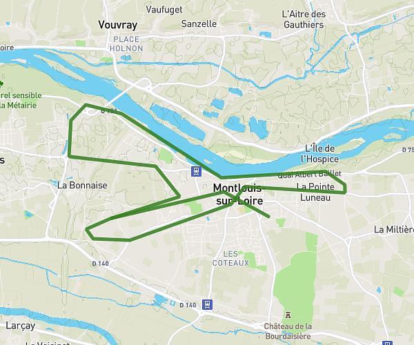
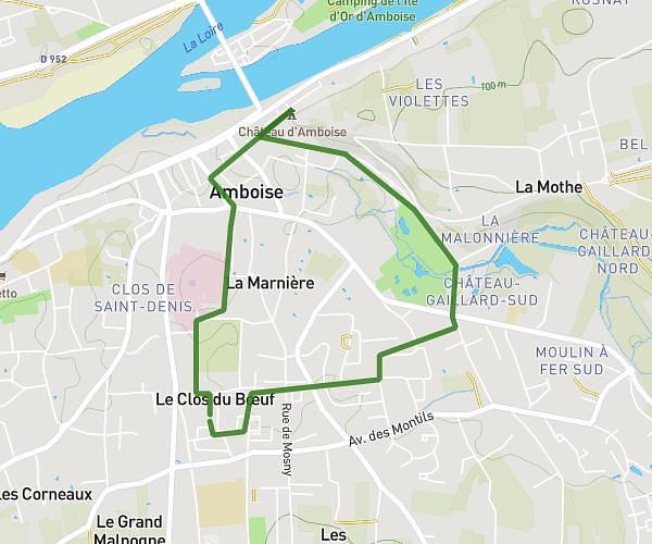
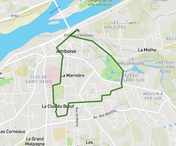
This running route covers 17.265mi starting from Mosnes, Indre-et-Loire. The run is a loop trail and returns to the trailhead. This run is rated as strenuous, expect about 2h46m to complete it. The route has an elevation gain of 791ft and an elevation loss of 804ft.
Sortie longue Mosnes
Route details
6.21mph
Speed
1906 kcal
Calories burned
Loop trail
Route type
223ft
Min altitude
390ft
Max altitude
Route profile
791ft
Elevation gain
804ft
Elevation loss
223ft
Min altitude
390ft
Max altitude
How to get there
Trailhead: 17 Route De La Godinière, 37530 Mosnes, France
GPS coordinates of the trailhead: 47.458211, 1.117247 / 47°27'29'' N, 1°7'2'' E