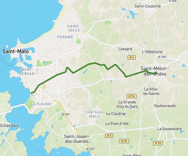
This running route covers 1.307mi starting from Saint-Malo, Ille-et-Vilaine. The run does not return to the trailhead and ends near 3 Place Aristide Briand, 35400 Saint-Malo, France. This run is rated as easy, expect about 13m to complete it. The route has an elevation gain of 39ft and an elevation loss of 13ft.
départ Corrida2025
Route details
6.03mph
Speed
149 kcal
Calories burned
Point to point
Route type
20ft
Min altitude
49ft
Max altitude
Route profile
39ft
Elevation gain
13ft
Elevation loss
20ft
Min altitude
49ft
Max altitude
How to get there
Trailhead: 11 Rue Du Calvaire, 35400 Saint-Malo, France
GPS coordinates of the trailhead: 48.65354, -2.00576 / 48°39'12'' N, 2°0'20'' W