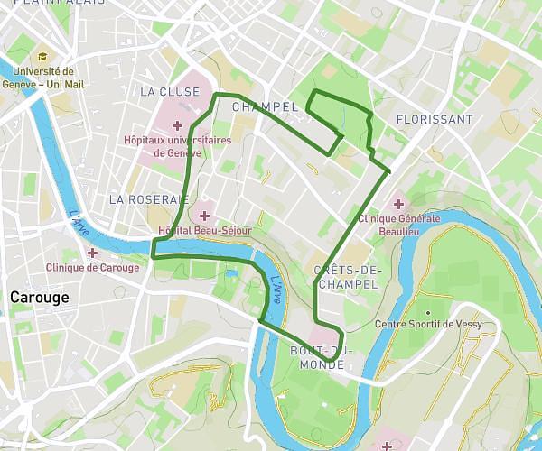
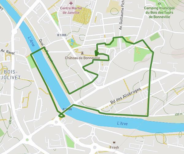
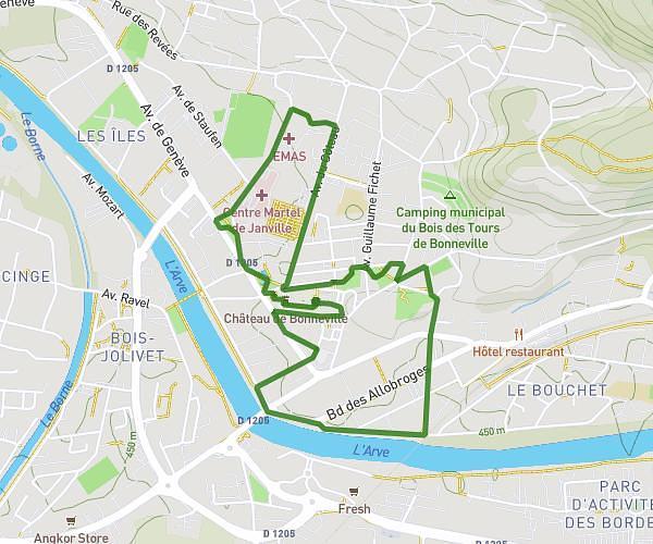
This running route covers 7.415mi starting from Fillière, Haute-Savoie. The run is a loop trail and returns to the trailhead. This run is rated as moderate, expect about 1h19m to complete it. The route has an elevation gain of 1401ft and an elevation loss of 1394ft.
borne esparzales
Route details
5.63mph
Speed
903 kcal
Calories burned
Loop trail
Route type
2228ft
Min altitude
3133ft
Max altitude
Route profile
1401ft
Elevation gain
1394ft
Elevation loss
2228ft
Min altitude
3133ft
Max altitude
How to get there
Trailhead: Passage Du Vieux Chêne, 74570 Fillière, France
GPS coordinates of the trailhead: 45.99746, 6.24776 / 45°59'50'' N, 6°14'51'' E