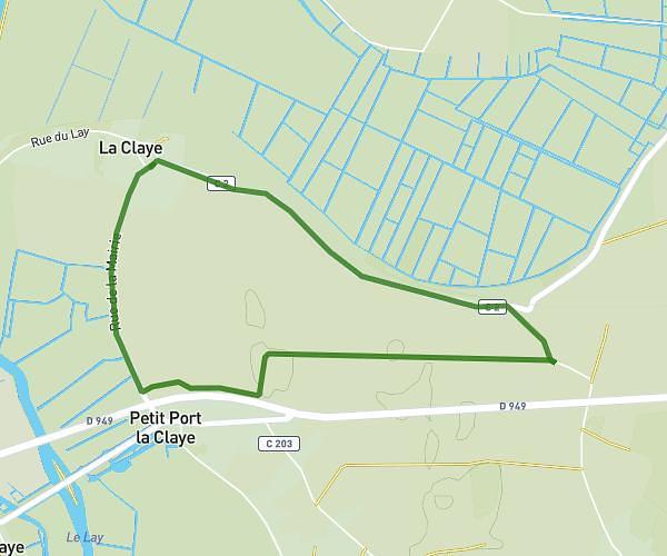
This running route covers 7.802mi starting from Sainte-Gemme-la-Plaine, Vendée. The run is a loop trail and returns to the trailhead. This run is rated as hard, expect about 2h45m to complete it. The route has an elevation gain of 82ft and an elevation loss of 82ft.
randonnée 2026 (12 km)
Route details
2.84mph
Speed
1887 kcal
Calories burned
Loop trail
Route type
46ft
Min altitude
128ft
Max altitude
Route profile
82ft
Elevation gain
82ft
Elevation loss
46ft
Min altitude
128ft
Max altitude
How to get there
Trailhead: 1 Le Puits Porcher, 85320 Sainte-Gemme-la-Plaine, France
GPS coordinates of the trailhead: 46.504133, -1.137848 / 46°30'14'' N, 1°8'16'' W