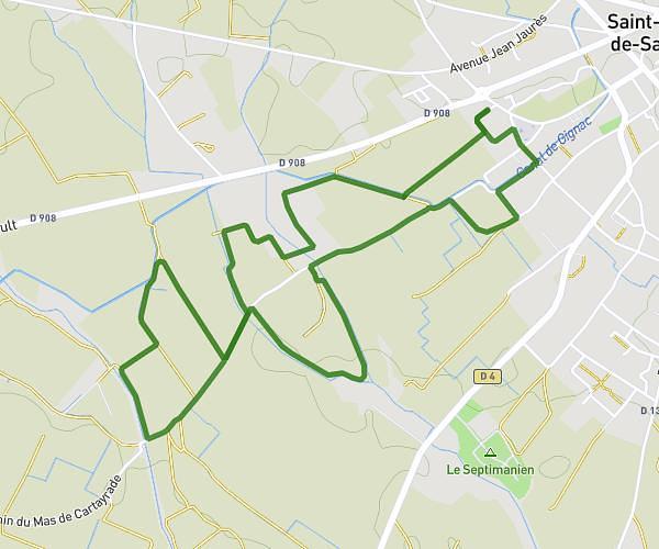
This walking route covers 4.508mi starting from Abeilhan, Hérault. The walk is a loop trail and returns to the trailhead. This walk is rated as easy, plan for about 1h37m to complete it. The route has an elevation gain of 315ft and an elevation loss of 315ft.
Autour d'Abeilhan
Route details
21:30/mi
Pace
396 kcal
Calories burned
Loop trail
Route type
194ft
Min altitude
305ft
Max altitude
Route profile
315ft
Elevation gain
315ft
Elevation loss
194ft
Min altitude
305ft
Max altitude
How to get there
Trailhead: 11 Impasse Guy Mollet, 34290 Abeilhan, France
GPS coordinates of the trailhead: 43.44577, 3.29624 / 43°26'44'' N, 3°17'46'' E