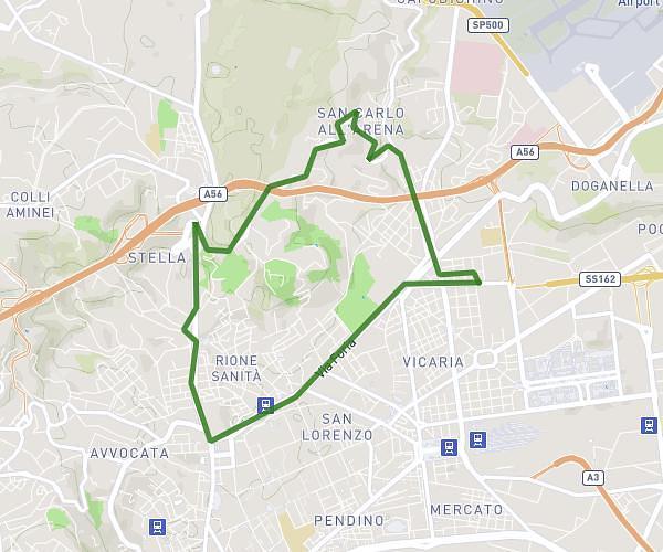
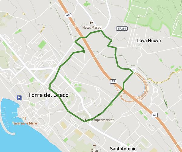
This running route covers 1.763mi starting from Marcianise, Caserta. The run is a loop trail and returns to the trailhead. This run is rated as easy, expect about 24m19s to complete it. The route has an elevation gain of 26ft and an elevation loss of 23ft.
madonna della libera
Route details
4.35mph
Speed
278 kcal
Calories burned
Loop trail
Route type
98ft
Min altitude
118ft
Max altitude
Route profile
26ft
Elevation gain
23ft
Elevation loss
98ft
Min altitude
118ft
Max altitude
How to get there
Trailhead: Via Franco Imposimato, 81025 Marcianise Caserta, Italy
GPS coordinates of the trailhead: 41.03281, 14.31983 / 41°1'58'' N, 14°19'11'' E