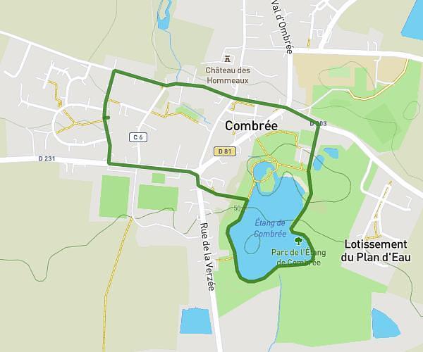
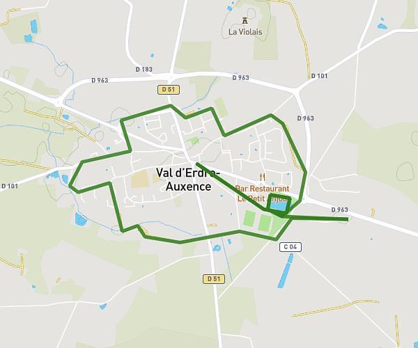
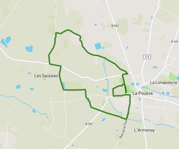
This running route covers 18.498mi starting from Armaillé, Maine-et-Loire. The run does not return to the trailhead and ends near Place Du Champ De Foire, 35130 La Guerche-de-Bretagne. This run is rated as strenuous, expect about 8h29m to complete it. The route has an elevation gain of 167ft and an elevation loss of 66ft.
Armaillé / Guerche de Bretagne
Route details
2.18mph
Speed
5820 kcal
Calories burned
Point to point
Route type
161ft
Min altitude
325ft
Max altitude
Route profile
167ft
Elevation gain
66ft
Elevation loss
161ft
Min altitude
325ft
Max altitude
How to get there
Trailhead: Rue Du Lavoir, 49420 Armaillé
GPS coordinates of the trailhead: 47.71487, -1.12829 / 47°42'53'' N, 1°7'41'' W