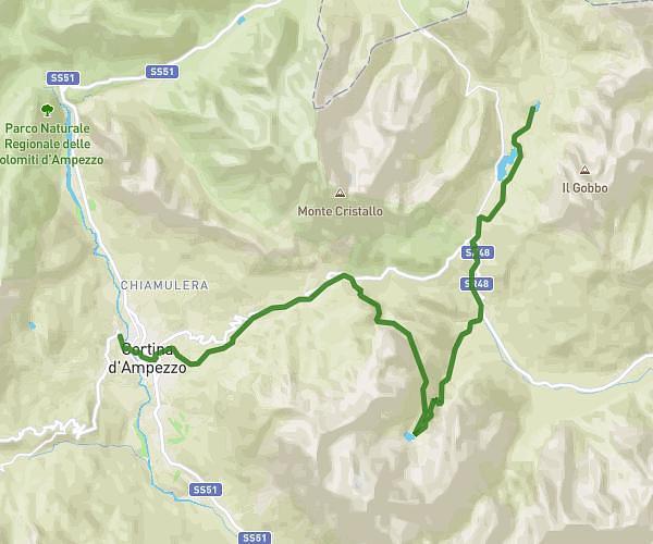
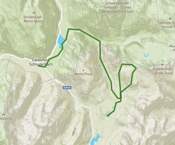
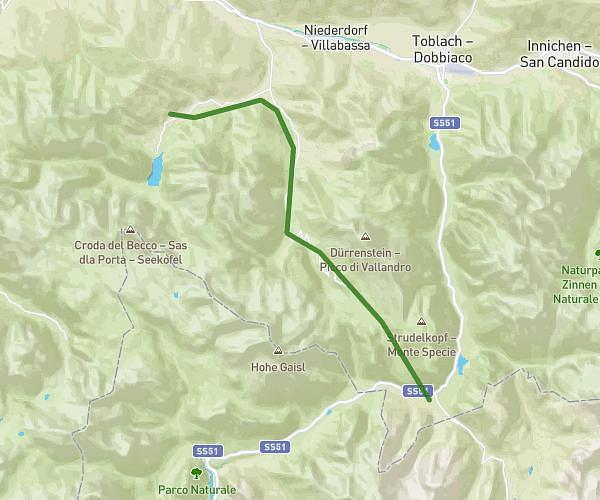
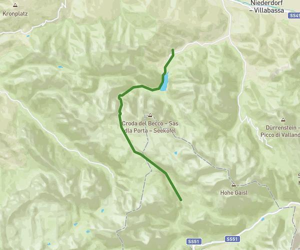
This hiking trail covers 12.01mi starting from Cortina d'Ampezzo, Belluno. The hike does not return to the trailhead and ends near 32043 Cortina d'Ampezzo. This hike is rated as strenuous, plan for about 6h26m to complete it. The route has an elevation gain of 6066ft and an elevation loss of 1670ft.
Dolomites - Jour 1
Route details
1.86mph
Speed
3137 kcal
Calories burned
12.2%
Avg grade
Point to point
Route type
3917ft
Min altitude
8425ft
Max altitude
High altitude
Steep climb
Route profile
6066ft
Elevation gain
1670ft
Elevation loss
3917ft
Min altitude
8425ft
Max altitude
How to get there
Trailhead: Via Guglielmo Marconi, 32043 Cortina d'Ampezzo
GPS coordinates of the trailhead: 46.5392, 12.13807 / 46°32'21'' N, 12°8'17'' E