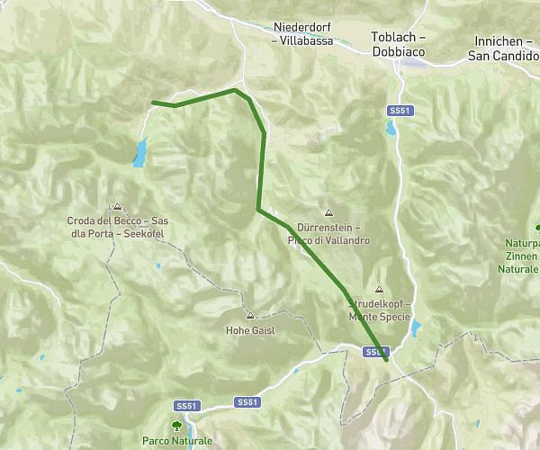
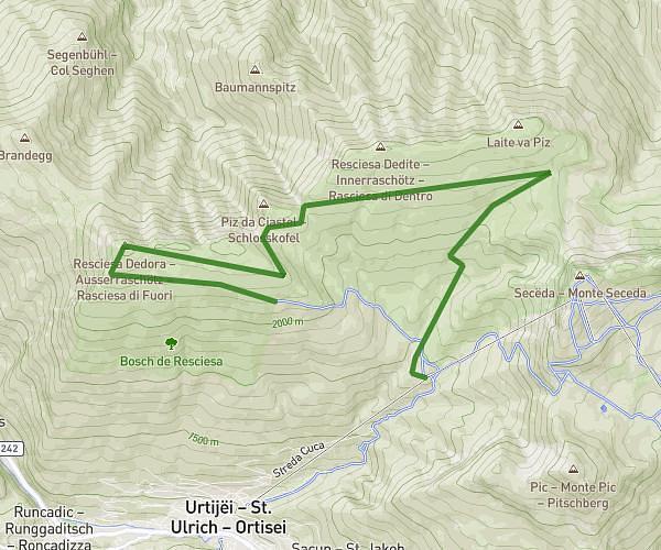
This hiking trail covers 10.045mi starting from Dobbiaco, South Tyrol. The hike does not return to the trailhead and ends near Via Monte Piana, 32041 Auronzo di Cadore. This hike is rated as strenuous, plan for about 5h23m to complete it. The route has an elevation gain of 3228ft and an elevation loss of 1837ft.
Dolomites - Jour 5
Route details
1.86mph
Speed
2493 kcal
Calories burned
9.6%
Avg grade
Point to point
Route type
4626ft
Min altitude
7562ft
Max altitude
Steep climb
Route profile
3228ft
Elevation gain
1837ft
Elevation loss
4626ft
Min altitude
7562ft
Max altitude
How to get there
Trailhead: Schluderbach, 39034 Dobbiaco
GPS coordinates of the trailhead: 46.61866, 12.21626 / 46°37'7'' N, 12°12'58'' E