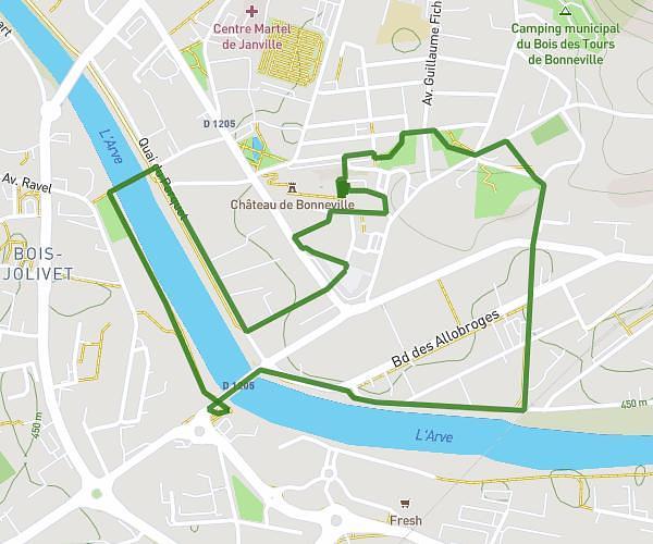
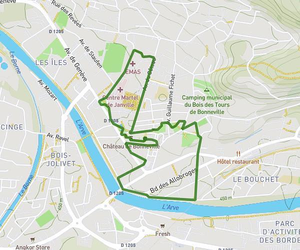
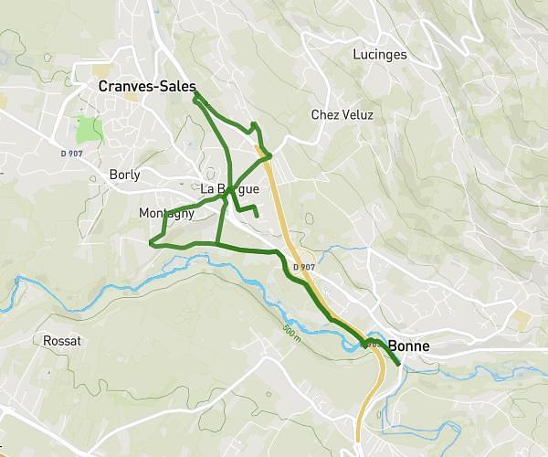
This running route covers 18.365mi starting from Saint-Cergues, Haute-Savoie. The run does not return to the trailhead and ends near 505 Route Du Salève, 74140 Machilly, France. This run is rated as strenuous, expect about 1h47m to complete it. The route has an elevation gain of 476ft and an elevation loss of 331ft.
Arales
Route details
10.3mph
Speed
1223 kcal
Calories burned
Point to point
Route type
1319ft
Min altitude
1791ft
Max altitude
Route profile
476ft
Elevation gain
331ft
Elevation loss
1319ft
Min altitude
1791ft
Max altitude
How to get there
Trailhead: 943 Route Des Arales, 74140 Saint-Cergues, France
GPS coordinates of the trailhead: 46.251979, 6.310054 / 46°15'7'' N, 6°18'36'' E