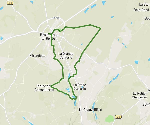
This hiking trail covers 5.557mi starting from Tours, Indre-et-Loire. The hike is a loop trail and returns to the trailhead. This hike is rated as moderate, plan for about 59m37s to complete it. The route has an elevation gain of 538ft and an elevation loss of 538ft.
Boucle vers St Cyr
Route details
5.59mph
Speed
430 kcal
Calories burned
3.7%
Avg grade
Loop trail
Route type
144ft
Min altitude
308ft
Max altitude
Route profile
538ft
Elevation gain
538ft
Elevation loss
144ft
Min altitude
308ft
Max altitude
How to get there
Trailhead: 20 Rue Croix Montoire, 37100 Tours, France
GPS coordinates of the trailhead: 47.406478, 0.680946 / 47°24'23'' N, 0°40'51'' E