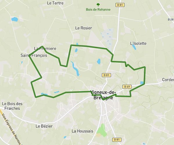
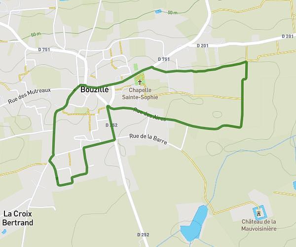
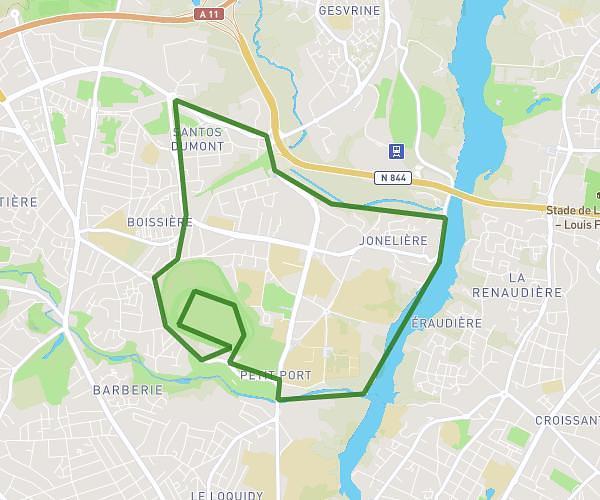
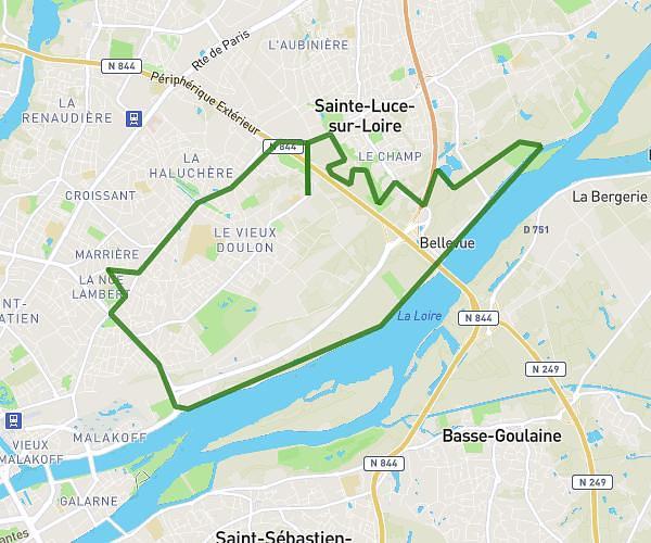
This running route covers 13.248mi starting from Saint-Julien-de-Concelles, Loire-Atlantique. The run is a loop trail and returns to the trailhead. This run is rated as strenuous, expect about 2h22m to complete it. The route has an elevation gain of 486ft and an elevation loss of 486ft.
Hard semi avec Ewan
Route details
5.6mph
Speed
1624 kcal
Calories burned
Loop trail
Route type
3ft
Min altitude
131ft
Max altitude
Route profile
486ft
Elevation gain
486ft
Elevation loss
3ft
Min altitude
131ft
Max altitude
How to get there
Trailhead: Levée De La Divatte, 44450 Saint-Julien-de-Concelles, France
GPS coordinates of the trailhead: 47.272889, -1.400278 / 47°16'22'' N, 1°24'1'' W