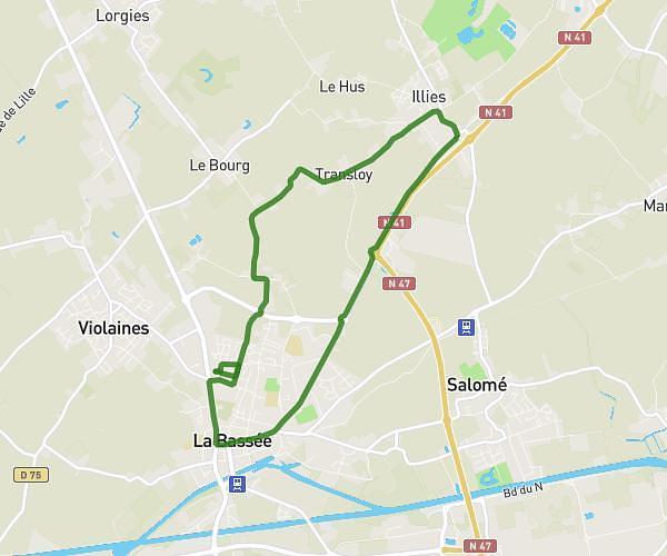
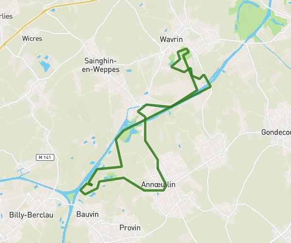
This running route covers 3.199mi starting from Verlinghem, Nord. The run is a loop trail and returns to the trailhead. This run is rated as easy, expect about 20m to complete it. The route has an elevation gain of 26ft and an elevation loss of 13ft.
5km verlinghem
Route details
9.6mph
Speed
229 kcal
Calories burned
Loop trail
Route type
62ft
Min altitude
89ft
Max altitude
Route profile
26ft
Elevation gain
13ft
Elevation loss
62ft
Min altitude
89ft
Max altitude
How to get there
Trailhead: Rue De La Fontaine, 59237 Verlinghem
GPS coordinates of the trailhead: 50.68202, 2.99435 / 50°40'55'' N, 2°59'39'' E