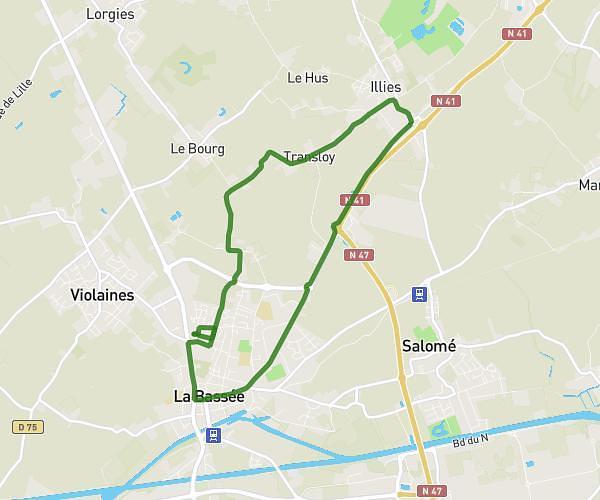
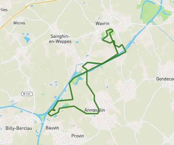
This running route covers 6.532mi starting from Verlinghem, Nord. The run is a loop trail and returns to the trailhead. This run is rated as moderate, expect about 58m to complete it. The route has an elevation gain of 249ft and an elevation loss of 253ft.
Jogging
Route details
6.75mph
Speed
663 kcal
Calories burned
Loop trail
Route type
52ft
Min altitude
105ft
Max altitude
Route profile
249ft
Elevation gain
253ft
Elevation loss
52ft
Min altitude
105ft
Max altitude
How to get there
Trailhead: Rue Henri Matisse, 59237 Verlinghem
GPS coordinates of the trailhead: 50.68227, 3.00264 / 50°40'56'' N, 3°0'9'' E