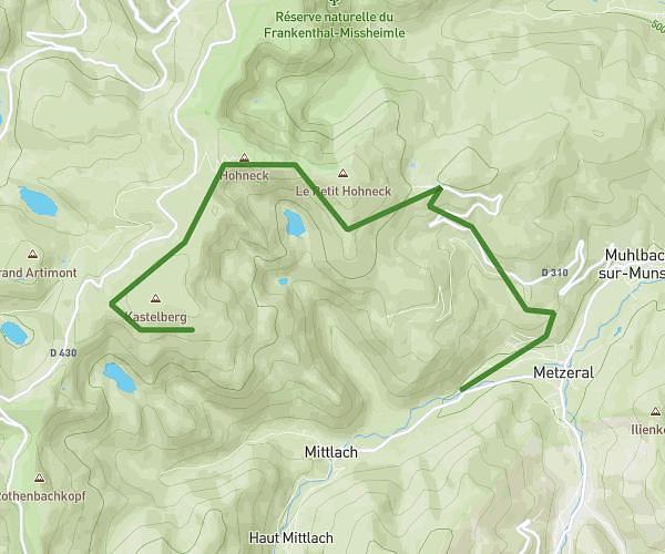
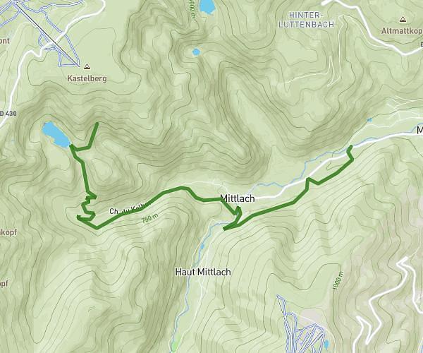
This hiking trail covers 9.892mi starting from Gueberschwihr, Haut-Rhin. The hike is a loop trail and returns to the trailhead. This hike is rated as strenuous, plan for about 4h5m to complete it. The route has an elevation gain of 1880ft and an elevation loss of 1883ft.
Gueberschwihr-Osenbuhr-Voegtlinshoffen
Route details
2.42mph
Speed
1818 kcal
Calories burned
7.2%
Avg grade
Loop trail
Route type
915ft
Min altitude
2464ft
Max altitude
Route profile
1880ft
Elevation gain
1883ft
Elevation loss
915ft
Min altitude
2464ft
Max altitude
How to get there
Trailhead: 44 Rue Haute, 68420 Gueberschwihr, France
GPS coordinates of the trailhead: 48.002545, 7.274282 / 48°0'9'' N, 7°16'27'' E