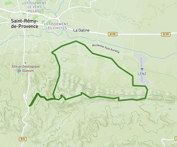
This walking route covers 8.868mi starting from Mouriès, Bouches-du-Rhône. The walk is a loop trail and returns to the trailhead. This walk is rated as moderate, plan for about 2h22m to complete it. The route has an elevation gain of 817ft and an elevation loss of 797ft.
rando sansan
Route details
16:06/mi
Pace
583 kcal
Calories burned
Loop trail
Route type
180ft
Min altitude
430ft
Max altitude
Route profile
817ft
Elevation gain
797ft
Elevation loss
180ft
Min altitude
430ft
Max altitude
How to get there
Trailhead: D 24, 13890 Mouriès, France
GPS coordinates of the trailhead: 43.71656, 4.89651 / 43°42'59'' N, 4°53'47'' E