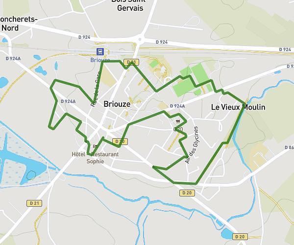
This walking route covers 2.613mi starting from Clécy, Calvados. The walk is a loop trail and returns to the trailhead. This walk is rated as easy, plan for about 1h1m to complete it. The route has an elevation gain of 594ft and an elevation loss of 594ft.
parcours 2
Route details
23:19/mi
Pace
249 kcal
Calories burned
Loop trail
Route type
108ft
Min altitude
472ft
Max altitude
Route profile
594ft
Elevation gain
594ft
Elevation loss
108ft
Min altitude
472ft
Max altitude
How to get there
Trailhead: D 168, 14570 Clécy, France
GPS coordinates of the trailhead: 48.9089, -0.47066 / 48°54'32'' N, 0°28'14'' W