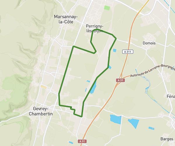
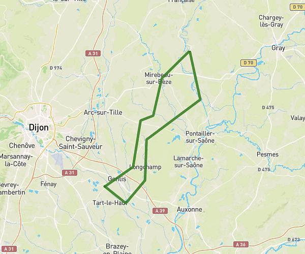
This cycling route covers 18.512mi starting from Auxonne, Côte-d’Or. The ride does not return to the trailhead and ends near 20 Chemin De Halage Canal Rhône Rhin, 39100 Dole, France. This route is rated as moderate, plan for about 1h52m to complete it. The route has an elevation gain of 325ft and an elevation loss of 253ft.
aux
Route details
984 kcal
Calories burned
0.6%
Avg grade
Point to point
Route type
594ft
Min altitude
912ft
Max altitude
Route profile
325ft
Elevation gain
253ft
Elevation loss
594ft
Min altitude
912ft
Max altitude
How to get there
Trailhead: Place Du Château, 21130 Auxonne, France
GPS coordinates of the trailhead: 47.190494, 5.381098 / 47°11'25'' N, 5°22'51'' E