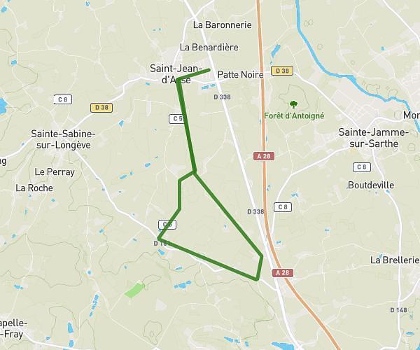
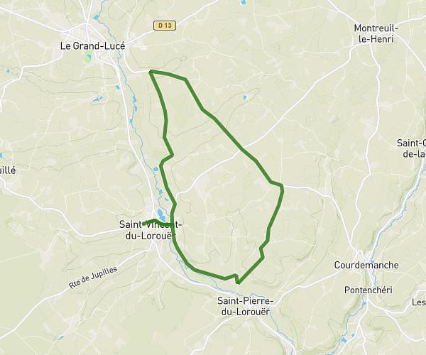
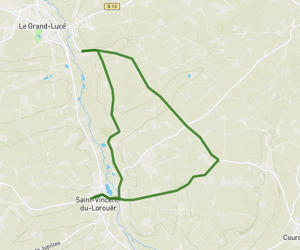
This running route covers 8.001mi starting from Le Mans, Sarthe. The run does not return to the trailhead and ends near Chemin Des Bordages, 72230 Arnage. This run is rated as hard, expect about 1h17m to complete it. The route has an elevation gain of 308ft and an elevation loss of 512ft.
Le Mans > Arnage
Route details
6.23mph
Speed
880 kcal
Calories burned
Point to point
Route type
138ft
Min altitude
364ft
Max altitude
Route profile
308ft
Elevation gain
512ft
Elevation loss
138ft
Min altitude
364ft
Max altitude
How to get there
Trailhead: Rue De Bilbao, 72000 Le Mans
GPS coordinates of the trailhead: 48.01635, 0.22999 / 48°0'58'' N, 0°13'47'' E