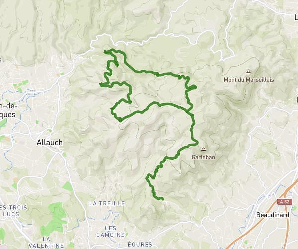
This cycling route covers 13.14mi starting from Aubagne, Bouches-du-Rhône. The ride does not return to the trailhead and ends near Chemin D'allauch À Garlaban, 13190 Allauch. This route is rated as strenuous, plan for about 1h45m to complete it. The route has an elevation gain of 3209ft and an elevation loss of 1939ft.
Partie 1 pichauris 19/11/23
Route details
982 kcal
Calories burned
7.4%
Avg grade
Point to point
Route type
955ft
Min altitude
2339ft
Max altitude
Steep climb
Route profile
3209ft
Elevation gain
1939ft
Elevation loss
955ft
Min altitude
2339ft
Max altitude
How to get there
Trailhead: Chemin De La Fònt De Mai, 13400 Aubagne
GPS coordinates of the trailhead: 43.31794, 5.531 / 43°19'4'' N, 5°31'51'' E