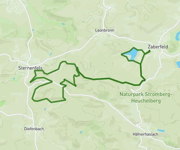
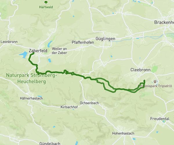
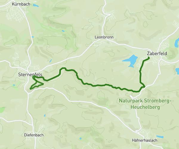
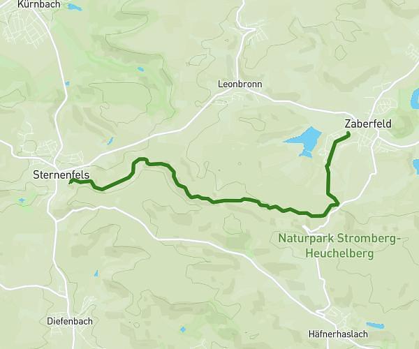
This running route covers 9.04mi starting from Mühlhausen, Baden-Württemberg. The run does not return to the trailhead and ends near Schulstraße 30, 69242 Mühlhausen, Germany. This run is rated as hard, expect about 1h36m to complete it. The route has an elevation gain of 827ft and an elevation loss of 758ft.
14 Km
Route details
5.59mph
Speed
1109 kcal
Calories burned
Point to point
Route type
463ft
Min altitude
748ft
Max altitude
Route profile
827ft
Elevation gain
758ft
Elevation loss
463ft
Min altitude
748ft
Max altitude
How to get there
Trailhead: Dielheimer Straße 10, 69242 Mühlhausen, Germany
GPS coordinates of the trailhead: 49.248844, 8.727648 / 49°14'55'' N, 8°43'39'' E