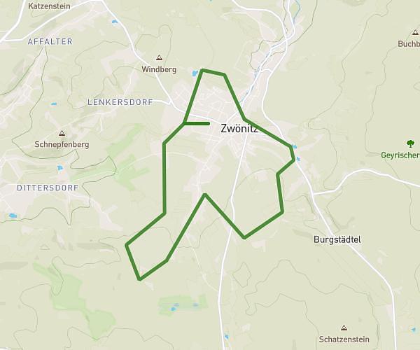
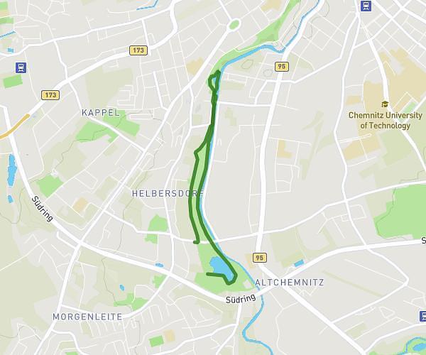
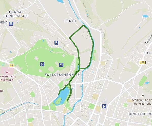
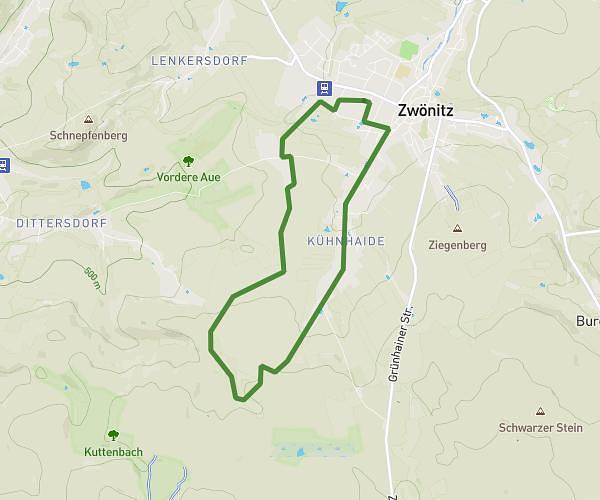
This running route covers 3.181mi starting from Chemnitz, Saxony. The run does not return to the trailhead and ends near Schloßteichstraße 20, 09113 Chemnitz, Germany. This run is rated as easy, expect about 34m to complete it. The route has an elevation gain of 230ft and an elevation loss of 230ft.
5K Social Run
Route details
5.62mph
Speed
389 kcal
Calories burned
Point to point
Route type
945ft
Min altitude
994ft
Max altitude
Route profile
230ft
Elevation gain
230ft
Elevation loss
945ft
Min altitude
994ft
Max altitude
How to get there
Trailhead: Promenadenstraße 5z, 09111 Chemnitz, Germany
GPS coordinates of the trailhead: 50.840716, 12.916087 / 50°50'26'' N, 12°54'57'' E