MapPlanner
4.834mi
Distance
47m
Duration
9:43/mi
Pace
Easy
Level

8 km

Route details

6.17mph
Speed
537 kcal
Calories burned
Loop trail
Route type
1247ft
Min altitude
1414ft
Max altitude

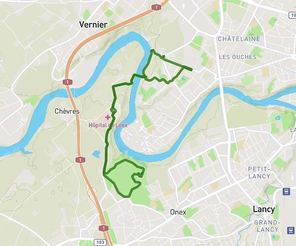
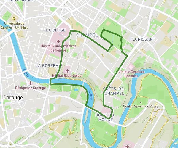
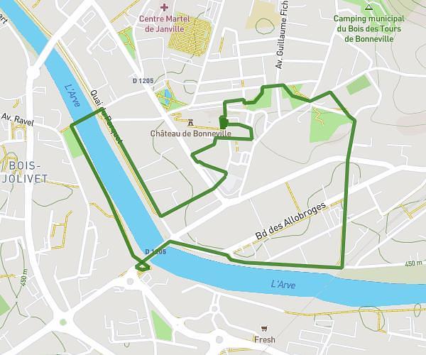
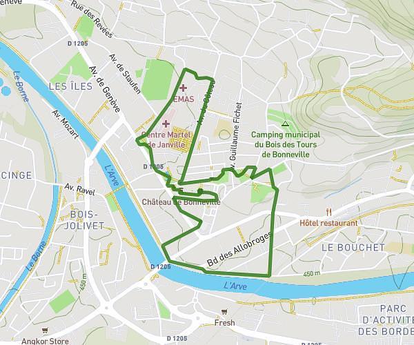
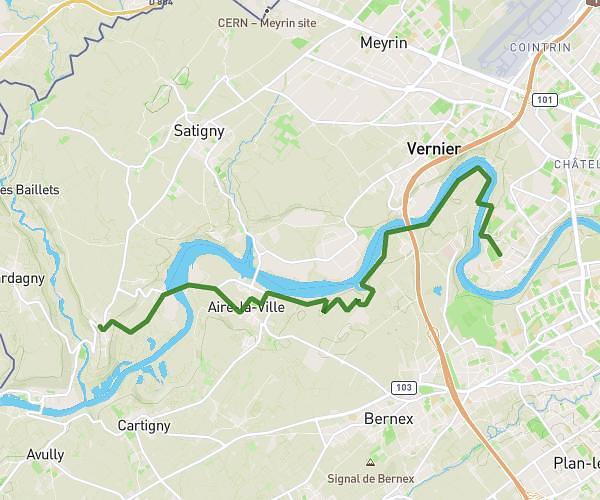
This running route covers 4.834mi starting from Genève, Geneva. The run is a loop trail and returns to the trailhead. This run is rated as easy, expect about 47m to complete it. The route has an elevation gain of 102ft and an elevation loss of 167ft.

Route profile

102ft
Elevation gain
167ft
Elevation loss
1247ft
Min altitude
1414ft
Max altitude

How to get there

Trailhead: Chemin De-Roches, 1208 Genève

GPS coordinates of the trailhead: 46.1996, 6.16143 / 46°11'58'' N, 6°9'41'' E

Caution: May Cross Private Property

This route may pass through or near private property. Always respect posted signs, obtain permission where required, and follow local trespassing laws. MapPlanner does not guarantee public access along any route.

Safety Notice

Trail and road conditions may change without notice due to weather, construction, or other factors. Always verify current conditions before heading out. You are responsible for your own safety — follow local signage, obey traffic laws, and use your best judgment on the trail.