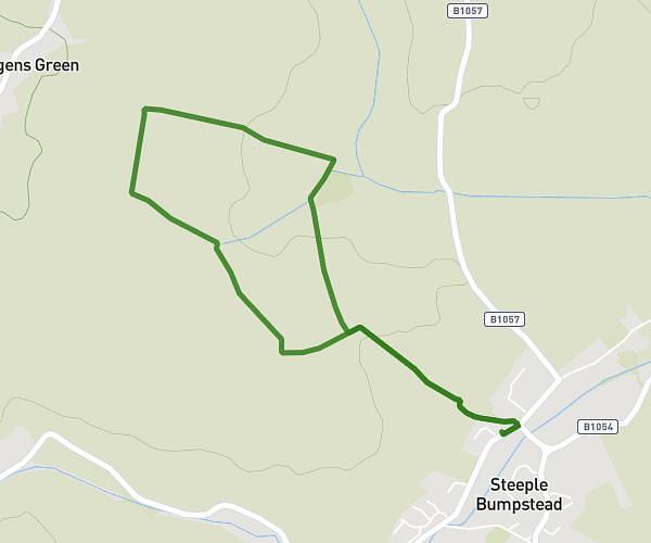
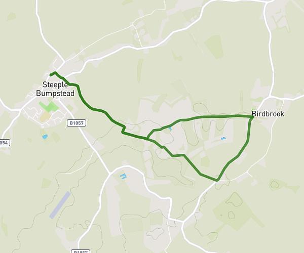
This walking route covers 5.173mi starting from Haverhill, England. The walk does not return to the trailhead and ends near 3 Chapel Street, Steeple Bumpstead, Haverhill, CB9 7DQ, United Kingdom. This walk is rated as hard, plan for about 1h48m to complete it. The route has an elevation gain of 351ft and an elevation loss of 331ft.
Bumpstead/Birdbrook Loop
Route details
20:54/mi
Pace
441 kcal
Calories burned
Point to point
Route type
184ft
Min altitude
358ft
Max altitude
Route profile
351ft
Elevation gain
331ft
Elevation loss
184ft
Min altitude
358ft
Max altitude
How to get there
Trailhead: 54 North Street, Steeple Bumpstead, Haverhill, CB9 7DP, United Kingdom
GPS coordinates of the trailhead: 52.045311, 0.447018 / 52°2'43'' N, 0°26'49'' E