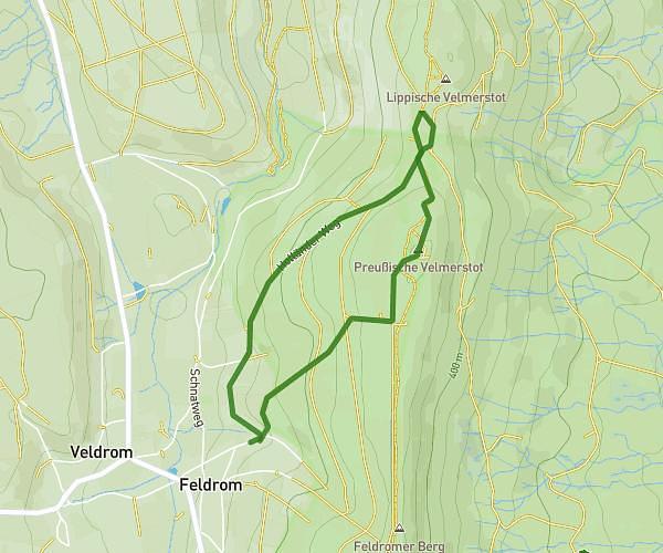
This hiking trail covers 3.372mi starting from Horn-Bad Meinberg, North Rhine-Westphalia. The hike is a loop trail and returns to the trailhead. This hike is rated as moderate, plan for about 41m to complete it. The route has an elevation gain of 646ft and an elevation loss of 643ft.
Velmerstot
Route details
4.93mph
Speed
304 kcal
Calories burned
7.2%
Avg grade
Loop trail
Route type
1086ft
Min altitude
1516ft
Max altitude
Route profile
646ft
Elevation gain
643ft
Elevation loss
1086ft
Min altitude
1516ft
Max altitude
How to get there
Trailhead: Velmerstotweg 25, 32805 Horn-Bad Meinberg, Germany
GPS coordinates of the trailhead: 51.827085, 8.945737 / 51°49'37'' N, 8°56'44'' E