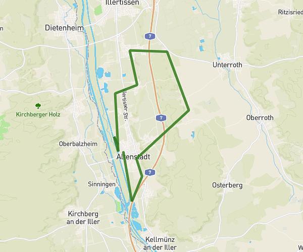
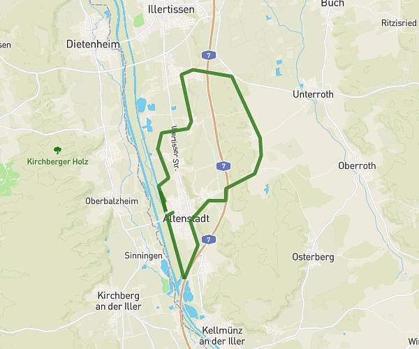
This running route covers 6.956mi starting from Bellenberg, Bavaria. The run is a loop trail and returns to the trailhead. This run is rated as moderate, expect about 1h7m to complete it. The route has an elevation gain of 23ft and an elevation loss of 26ft.
Iller Strecke // 11-12 km
Route details
6.21mph
Speed
768 kcal
Calories burned
Loop trail
Route type
1634ft
Min altitude
1660ft
Max altitude
Route profile
23ft
Elevation gain
26ft
Elevation loss
1634ft
Min altitude
1660ft
Max altitude
How to get there
Trailhead: Reichenberger Straße 27, 89287 Bellenberg, Germany
GPS coordinates of the trailhead: 48.25291, 10.08163 / 48°15'10'' N, 10°4'53'' E