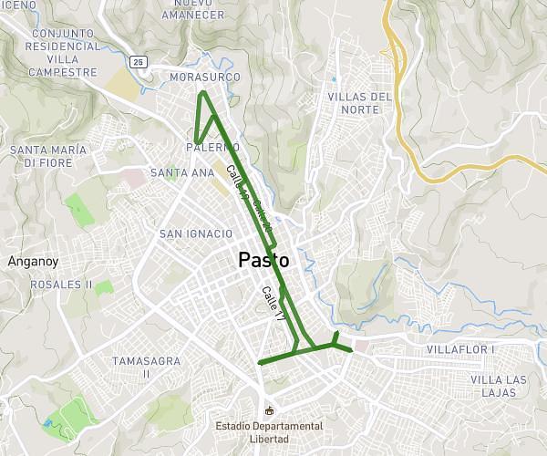
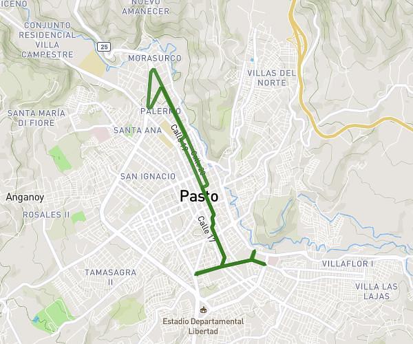
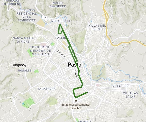
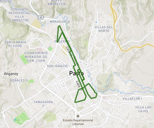
This running route covers 5.883mi starting from Pasto, Nariño. The run is a loop trail and returns to the trailhead. This run is rated as moderate, expect about 1h3m to complete it. The route has an elevation gain of 128ft and an elevation loss of 66ft.
KIMSA Run as one
Route details
5.6mph
Speed
720 kcal
Calories burned
Loop trail
Route type
8235ft
Min altitude
8353ft
Max altitude
High altitude
Route profile
128ft
Elevation gain
66ft
Elevation loss
8235ft
Min altitude
8353ft
Max altitude
How to get there
Trailhead: Carrera 25 19 45, 520002 Pasto, Nariño, Colombia
GPS coordinates of the trailhead: 1.215187, -77.278053 / 1°12'54'' N, 77°16'40'' W