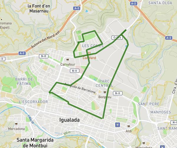
This running route covers 10.927mi starting from Igualada, Barcelona. The run is a loop trail and returns to the trailhead. This run is rated as hard, expect about 1h27m to complete it. The route has an elevation gain of 781ft and an elevation loss of 778ft.
17km
Route details
7.46mph
Speed
1005 kcal
Calories burned
Loop trail
Route type
955ft
Min altitude
1171ft
Max altitude
Route profile
781ft
Elevation gain
778ft
Elevation loss
955ft
Min altitude
1171ft
Max altitude
How to get there
Trailhead: Passeig Mossèn Jacint Verdaguer 119, 08700 Igualada, Barcelona, Spain
GPS coordinates of the trailhead: 41.579342, 1.626036 / 41°34'45'' N, 1°37'33'' E