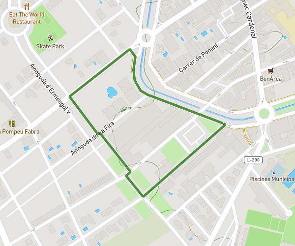
This running route covers 10.297mi starting from Bellpuig, Lleida. The run does not return to the trailhead and ends near Camí De Sant Martí, 25250 Bellpuig, Lleida, Spain. This run is rated as hard, expect about 1h39m to complete it. The route has an elevation gain of 453ft and an elevation loss of 456ft.
Bellpuig-Belianes-Sant Martí de Maldà-Bellpuig
Route details
6.24mph
Speed
1132 kcal
Calories burned
Point to point
Route type
1007ft
Min altitude
1378ft
Max altitude
Route profile
453ft
Elevation gain
456ft
Elevation loss
1007ft
Min altitude
1378ft
Max altitude
How to get there
Trailhead: Camí De Sant Martí, 25250 Bellpuig, Lleida, Spain
GPS coordinates of the trailhead: 41.61432, 1.0142 / 41°36'51'' N, 1°0'51'' E