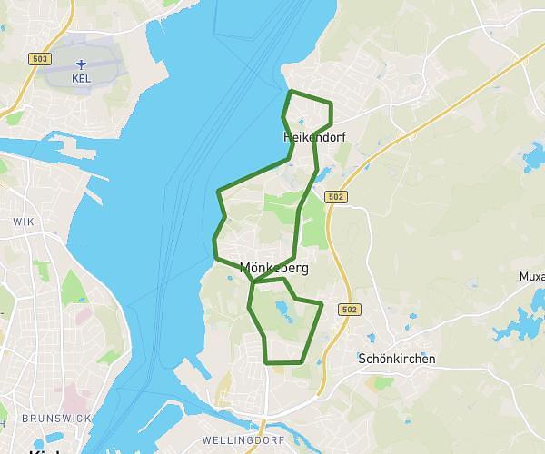
This running route covers 4.022mi starting from Westensee, Schleswig-Holstein. The run is a loop trail and returns to the trailhead. This run is rated as easy, expect about 1h1m to complete it. The route has an elevation gain of 548ft and an elevation loss of 548ft.
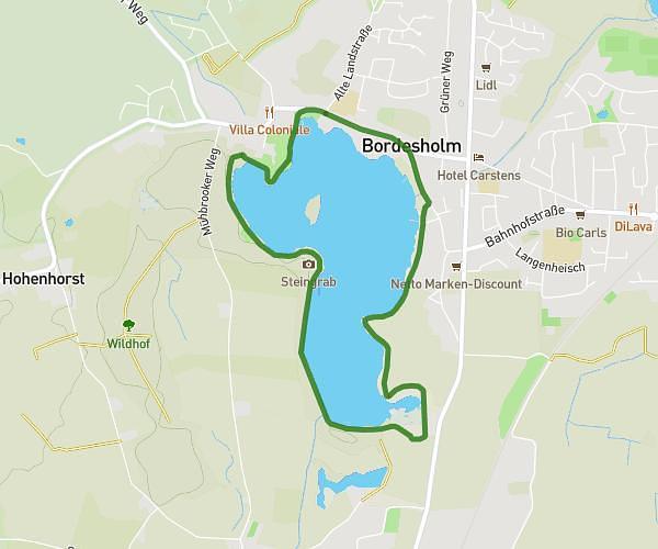
Schierensee
Route details
3.93mph
Speed
702 kcal
Calories burned
Loop trail
Route type
16ft
Min altitude
128ft
Max altitude
Route profile
548ft
Elevation gain
548ft
Elevation loss
16ft
Min altitude
128ft
Max altitude
How to get there
Trailhead: Seeweg 22, 24259 Westensee, Germany
GPS coordinates of the trailhead: 54.268549, 9.96196 / 54°16'6'' N, 9°57'43'' E