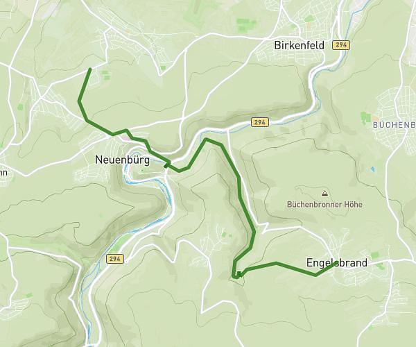
This hiking trail covers 11.829mi starting from Weil der Stadt, Baden-Württemberg. The hike does not return to the trailhead and ends near L 1182, 71263 Weil der Stadt, Germany. This hike is rated as hard, plan for about 3h48m to complete it. The route has an elevation gain of 1217ft and an elevation loss of 1329ft.
13.05.26
Route details
3.11mph
Speed
1651 kcal
Calories burned
4.1%
Avg grade
Point to point
Route type
1260ft
Min altitude
1673ft
Max altitude
Route profile
1217ft
Elevation gain
1329ft
Elevation loss
1260ft
Min altitude
1673ft
Max altitude
How to get there
Trailhead: Hasenäcker 11, 71263 Weil der Stadt, Germany
GPS coordinates of the trailhead: 48.724623, 8.888142 / 48°43'28'' N, 8°53'17'' E