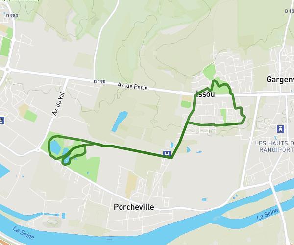
This running route covers 10.325mi starting from Théméricourt, Val-d'Oise. The run is a loop trail and returns to the trailhead. This run is rated as hard, expect about 1h51m to complete it. The route has an elevation gain of 98ft and an elevation loss of 121ft.
Boucle us
Route details
5.58mph
Speed
1269 kcal
Calories burned
Loop trail
Route type
331ft
Min altitude
430ft
Max altitude
Route profile
98ft
Elevation gain
121ft
Elevation loss
331ft
Min altitude
430ft
Max altitude
How to get there
Trailhead: 2 Rue De La Ferme De Jaucourt, 95450 Théméricourt, France
GPS coordinates of the trailhead: 49.086904, 1.897888 / 49°5'12'' N, 1°53'52'' E