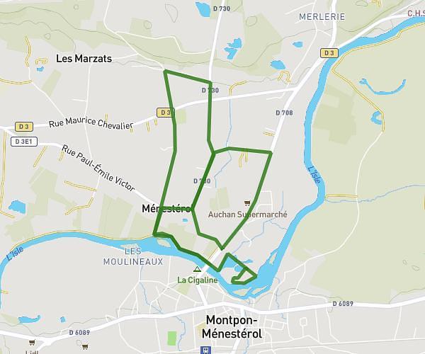
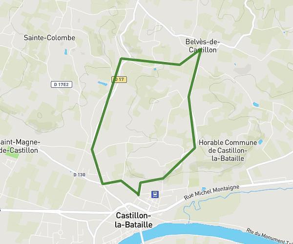
This running route covers 3.936mi starting from Puisseguin, Gironde. The run is a loop trail and returns to the trailhead. This run is rated as easy, expect about 44m58s to complete it. The route has an elevation gain of 36ft and an elevation loss of 43ft.
28/01
Route details
5.25mph
Speed
514 kcal
Calories burned
Loop trail
Route type
262ft
Min altitude
302ft
Max altitude
Route profile
36ft
Elevation gain
43ft
Elevation loss
262ft
Min altitude
302ft
Max altitude
How to get there
Trailhead: 2 Rue Du Barrail, 33570 Puisseguin, France
GPS coordinates of the trailhead: 44.926143, -0.07474 / 44°55'34'' N, 0°4'29'' W