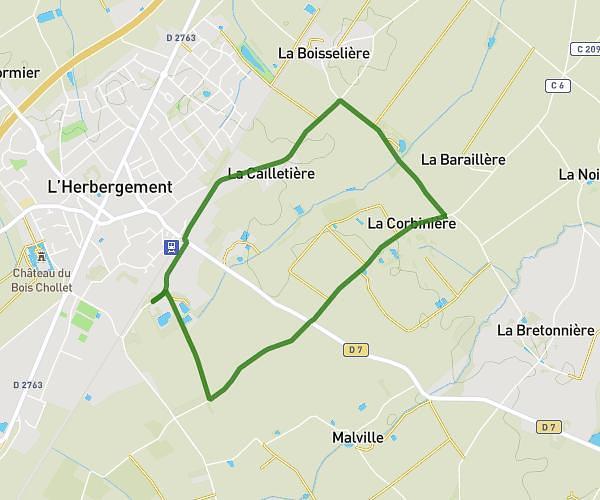
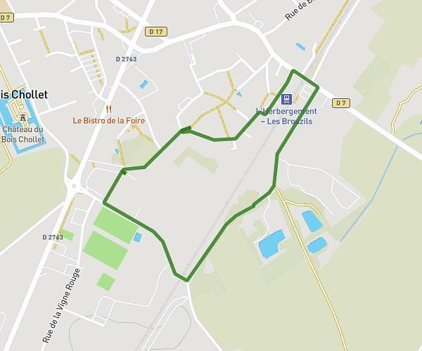
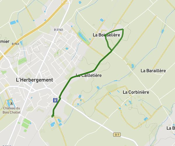
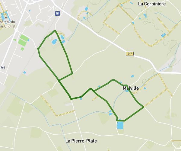
This walking route covers 2.599mi starting from L'Herbergement, Vendée. The walk is a loop trail and returns to the trailhead. This walk is rated as easy, plan for about 1h to complete it. The route has an elevation gain of 95ft and an elevation loss of 92ft.
Malville
Route details
23:06/mi
Pace
245 kcal
Calories burned
Loop trail
Route type
203ft
Min altitude
230ft
Max altitude
Route profile
95ft
Elevation gain
92ft
Elevation loss
203ft
Min altitude
230ft
Max altitude
How to get there
Trailhead: 21 Boulevard Des Marchandises, 85260 L'Herbergement, France
GPS coordinates of the trailhead: 46.90447, -1.37235 / 46°54'16'' N, 1°22'20'' W