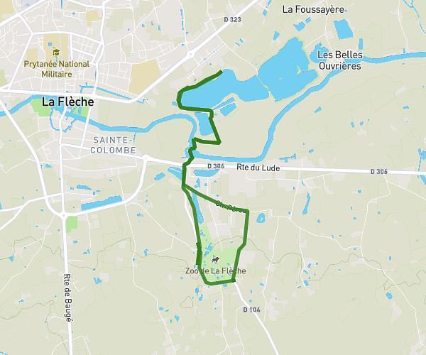
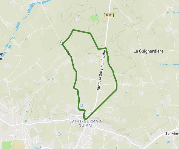
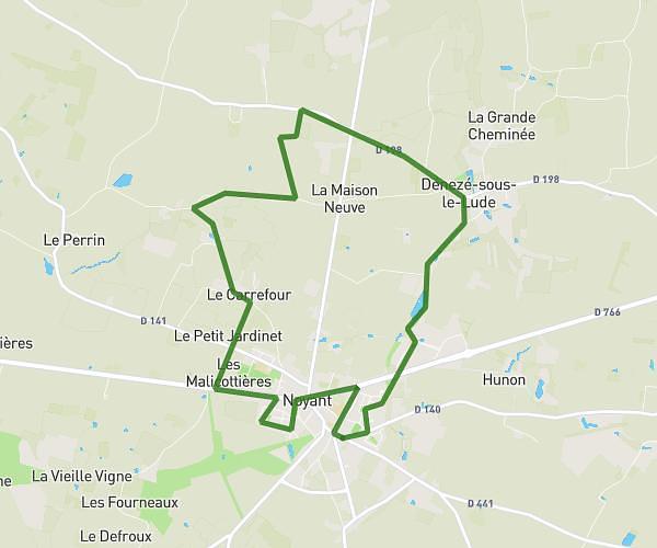
This running route covers 15.138mi starting from Saint-Jean-de-la-Motte, Sarthe. The run is a loop trail and returns to the trailhead. This run is rated as strenuous, expect about 2h26m to complete it. The route has an elevation gain of 1266ft and an elevation loss of 1266ft.
Trail 3 moutons - 24.360
Route details
6.22mph
Speed
1669 kcal
Calories burned
Loop trail
Route type
141ft
Min altitude
358ft
Max altitude
Route profile
1266ft
Elevation gain
1266ft
Elevation loss
141ft
Min altitude
358ft
Max altitude
How to get there
Trailhead: Rue De Pringé, 72510 Saint-Jean-de-la-Motte
GPS coordinates of the trailhead: 47.74142, 0.05604 / 47°44'29'' N, 0°3'21'' E