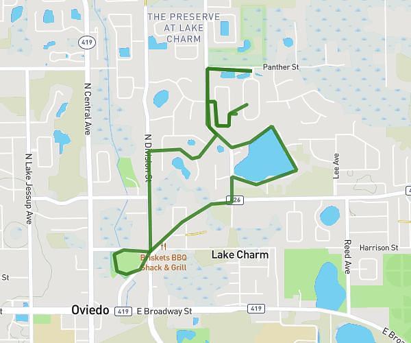
This walking route covers 3.121mi starting from Orlando, Florida. The walk does not return to the trailhead and ends near Amelia Street, 32803 Orlando. This walk is rated as moderate, plan for about 1h7m to complete it. The route has an elevation gain of 167ft and an elevation loss of 164ft.
Y Walk group 1
Route details
21:27/mi
Pace
274 kcal
Calories burned
Point to point
Route type
82ft
Min altitude
138ft
Max altitude
Route profile
167ft
Elevation gain
164ft
Elevation loss
82ft
Min altitude
138ft
Max altitude
How to get there
Trailhead: Amelia Street, 32803 Orlando
GPS coordinates of the trailhead: 28.54945, -81.36645 / 28°32'58'' N, 81°21'59'' W