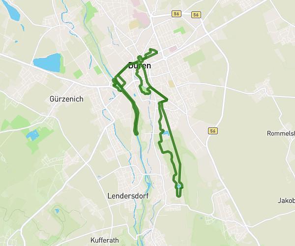
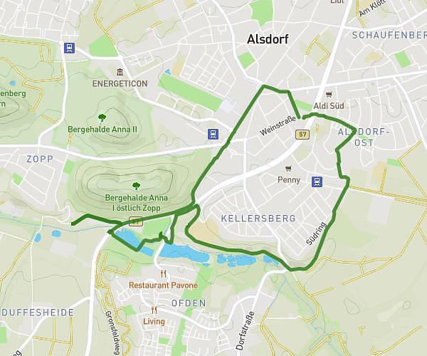
This running route covers 4.861mi starting from Alsdorf, North Rhine-Westphalia. The run is a loop trail and returns to the trailhead. This run is rated as easy, expect about 52m to complete it. The route has an elevation gain of 128ft and an elevation loss of 115ft.
Runnermanni 3
Route details
5.61mph
Speed
595 kcal
Calories burned
Loop trail
Route type
440ft
Min altitude
568ft
Max altitude
Route profile
128ft
Elevation gain
115ft
Elevation loss
440ft
Min altitude
568ft
Max altitude
How to get there
Trailhead: Weinstraße 92, 52477 Alsdorf, Germany
GPS coordinates of the trailhead: 50.871793, 6.165989 / 50°52'18'' N, 6°9'57'' E