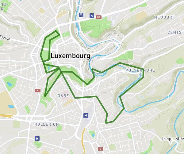
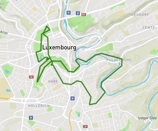
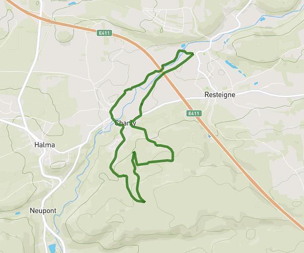
This running route covers 3.074mi starting from Luxembourg, Luxembourg. The run is a loop trail and returns to the trailhead. This run is rated as easy, expect about 33m to complete it. The route has an elevation gain of 171ft and an elevation loss of 151ft.
Chicken Run Luxembourg 2026 5km
Route details
5.59mph
Speed
377 kcal
Calories burned
Loop trail
Route type
892ft
Min altitude
1063ft
Max altitude
Route profile
171ft
Elevation gain
151ft
Elevation loss
892ft
Min altitude
1063ft
Max altitude
How to get there
Trailhead: 36, Boulevard De La Foire, 1528 Luxembourg, Luxembourg
GPS coordinates of the trailhead: 49.615945, 6.125527 / 49°36'57'' N, 6°7'31'' E