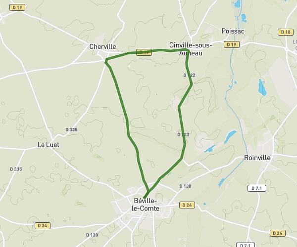
This walking route covers 2.72mi starting from Chartres, Eure-et-Loir. The walk does not return to the trailhead and ends near 53 Boulevard Charles Péguy, 28000 Chartres, France. This walk is rated as easy, plan for about 57m59s to complete it. The route has an elevation gain of 174ft and an elevation loss of 207ft.
Géo parcours Classe sortie
Route details
21:19/mi
Pace
237 kcal
Calories burned
Point to point
Route type
449ft
Min altitude
538ft
Max altitude
Route profile
174ft
Elevation gain
207ft
Elevation loss
449ft
Min altitude
538ft
Max altitude
How to get there
Trailhead: 20 Rue Du Faubourg Saint-Jean, 28000 Chartres, France
GPS coordinates of the trailhead: 48.45002, 1.480543 / 48°27'0'' N, 1°28'49'' E