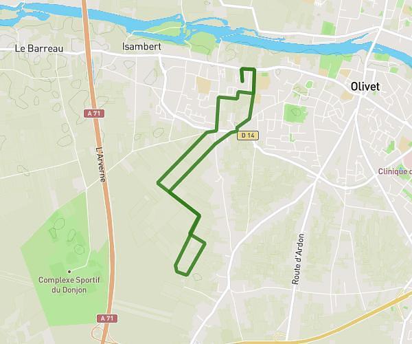
This walking route covers 3.714mi starting from Olivet, Loiret. The walk is a loop trail and returns to the trailhead. This walk is rated as moderate, plan for about 1h20m to complete it. The route has an elevation gain of 262ft and an elevation loss of 262ft.
olivet - saint hilaire
Route details
21:33/mi
Pace
327 kcal
Calories burned
Loop trail
Route type
295ft
Min altitude
351ft
Max altitude
Route profile
262ft
Elevation gain
262ft
Elevation loss
295ft
Min altitude
351ft
Max altitude
How to get there
Trailhead: Allée Jean Honoré Fragonard, 45160 Olivet
GPS coordinates of the trailhead: 47.86563, 1.88449 / 47°51'56'' N, 1°53'4'' E