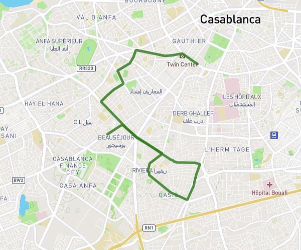
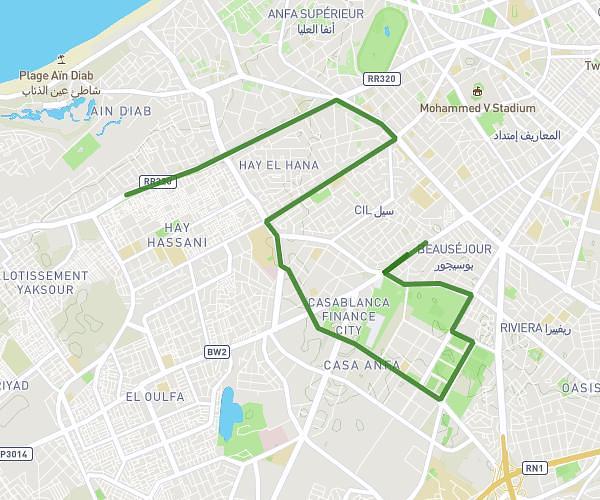
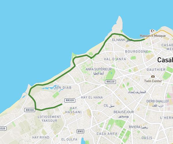
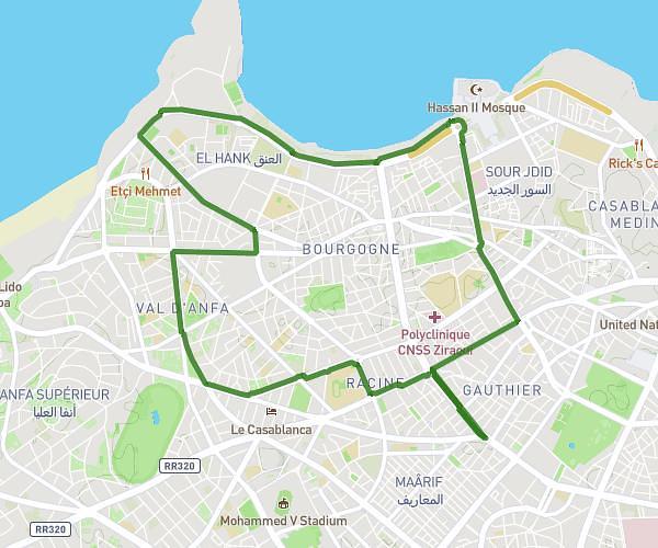
This running route covers 8.194mi starting from Casablanca, Casablanca-Settat. The run is a loop trail and returns to the trailhead. This run is rated as hard, expect about 1h19m to complete it. The route has an elevation gain of 381ft and an elevation loss of 367ft.
prep semi marathon casa
Route details
6.23mph
Speed
903 kcal
Calories burned
Loop trail
Route type
213ft
Min altitude
351ft
Max altitude
Route profile
381ft
Elevation gain
367ft
Elevation loss
213ft
Min altitude
351ft
Max altitude
How to get there
Trailhead: 20, مقاطعة عين الشق, Casablanca, Casablanca-Settat, Morocco
GPS coordinates of the trailhead: 33.53796, -7.6142 / 33°32'16'' N, 7°36'51'' W