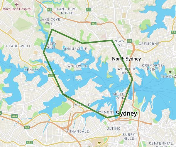
This running route covers 76.08mi starting from Sydney, New South Wales. The run does not return to the trailhead and ends near 7 Old Hume Highway, Mittagong New South Wales 2575, Australia. This run is rated as strenuous, expect about 13h36m to complete it. The route has an elevation gain of 5217ft and an elevation loss of 3392ft.
Day 1
Route details
5.59mph
Speed
9332 kcal
Calories burned
Point to point
Route type
75ft
Min altitude
2123ft
Max altitude
Route profile
5217ft
Elevation gain
3392ft
Elevation loss
75ft
Min altitude
2123ft
Max altitude
How to get there
Trailhead: 65z Harrington Avenue, Castle Hill New South Wales 2154, Australia
GPS coordinates of the trailhead: -33.715204, 150.9733 / 33°42'54'' S, 150°58'23'' E