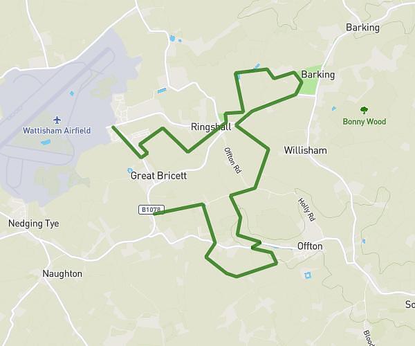
This walking route covers 1.127mi starting from Ipswich, England. The walk is a loop trail and returns to the trailhead. This walk is rated as easy, plan for about 24m to complete it. The route has an elevation gain of 62ft and an elevation loss of 62ft.
community cafe circular
Route details
21:19/mi
Pace
98 kcal
Calories burned
Loop trail
Route type
69ft
Min altitude
118ft
Max altitude
Route profile
62ft
Elevation gain
62ft
Elevation loss
69ft
Min altitude
118ft
Max altitude
How to get there
Trailhead: 37 Foxglove Avenue, Needham Market, Ipswich, IP6 8JF, United Kingdom
GPS coordinates of the trailhead: 52.145588, 1.049935 / 52°8'44'' N, 1°2'59'' E