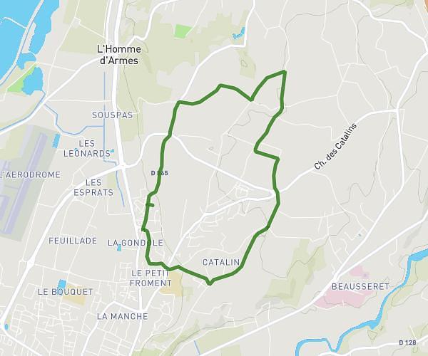
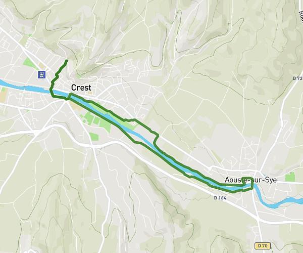
This running route covers 8.201mi starting from Espeluche, Drôme. The run is a loop trail and returns to the trailhead. This run is rated as hard, expect about 1h27m to complete it. The route has an elevation gain of 476ft and an elevation loss of 472ft.
Tranquillou
Route details
5.59mph
Speed
1006 kcal
Calories burned
Loop trail
Route type
367ft
Min altitude
715ft
Max altitude
Route profile
476ft
Elevation gain
472ft
Elevation loss
367ft
Min altitude
715ft
Max altitude
How to get there
Trailhead: 20b Route D'allan, 26740 Espeluche, France
GPS coordinates of the trailhead: 44.54591, 4.807088 / 44°32'45'' N, 4°48'25'' E