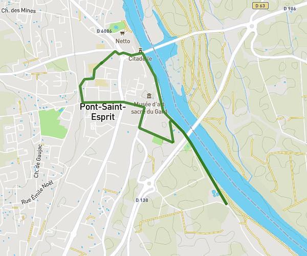
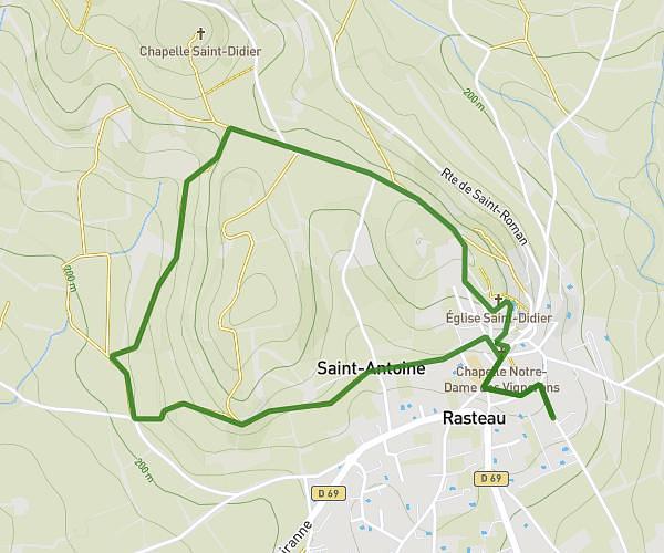
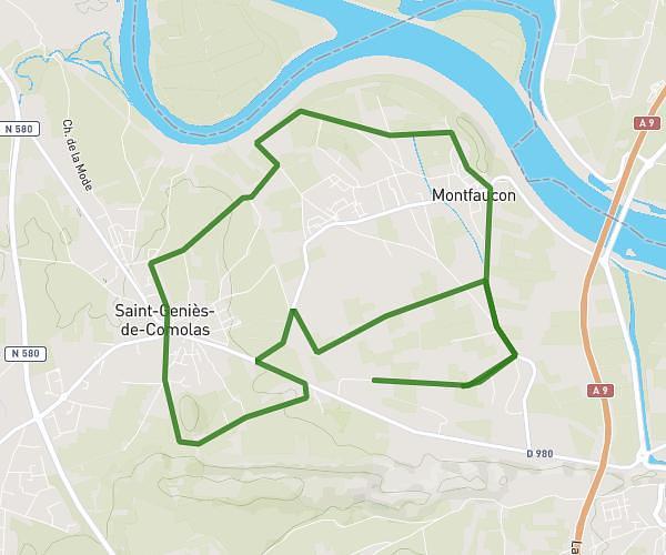
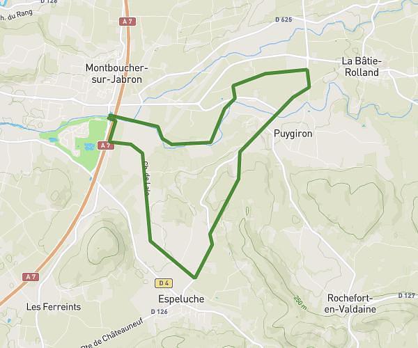
This running route covers 2.924mi starting from Bollène, Vaucluse. The run is a loop trail and returns to the trailhead. This run is rated as easy, expect about 31m to complete it. The route has an elevation gain of 33ft and an elevation loss of 10ft.
Aubrac
Route details
5.66mph
Speed
354 kcal
Calories burned
Loop trail
Route type
177ft
Min altitude
210ft
Max altitude
Route profile
33ft
Elevation gain
10ft
Elevation loss
177ft
Min altitude
210ft
Max altitude
How to get there
Trailhead: 224 Avenue Ernest Lafont, 84500 Bollène, France
GPS coordinates of the trailhead: 44.29385, 4.749861 / 44°17'37'' N, 4°44'59'' E