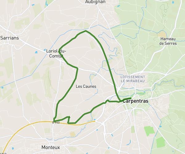
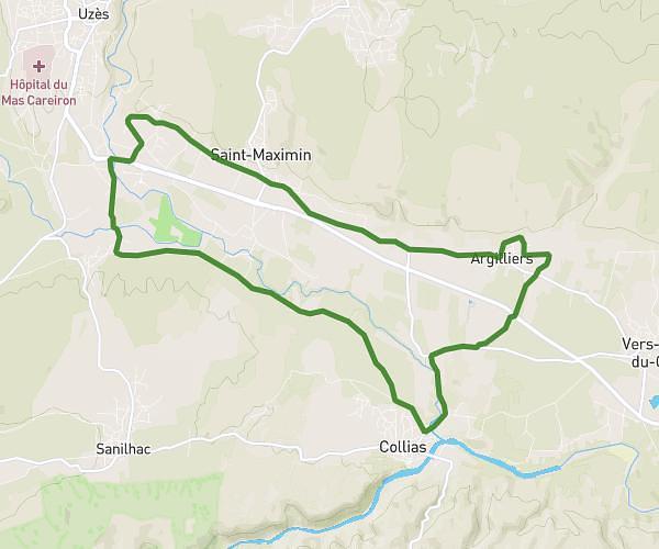
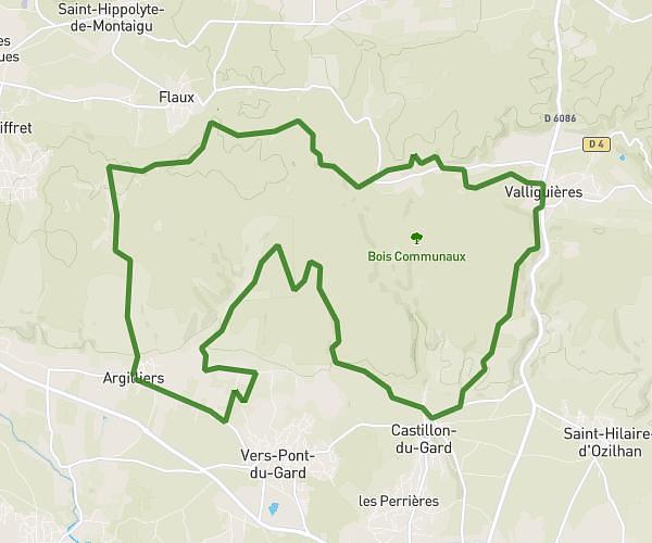
This running route covers 8.418mi starting from Saint-Geniès-de-Comolas, Gard. The run does not return to the trailhead and ends near 1051 Chemin Du Bassinet, 30150 Saint-Geniès-de-Comolas, France. This run is rated as hard, expect about 1h30m to complete it. The route has an elevation gain of 358ft and an elevation loss of 354ft.
SGC 90’
Route details
5.59mph
Speed
1033 kcal
Calories burned
Point to point
Route type
59ft
Min altitude
282ft
Max altitude
Route profile
358ft
Elevation gain
354ft
Elevation loss
59ft
Min altitude
282ft
Max altitude
How to get there
Trailhead: 499 Chemin Du Bassinet, 30150 Saint-Geniès-de-Comolas, France
GPS coordinates of the trailhead: 44.060484, 4.744051 / 44°3'37'' N, 4°44'38'' E